Ladoga trade routes sparked the development of Karelia
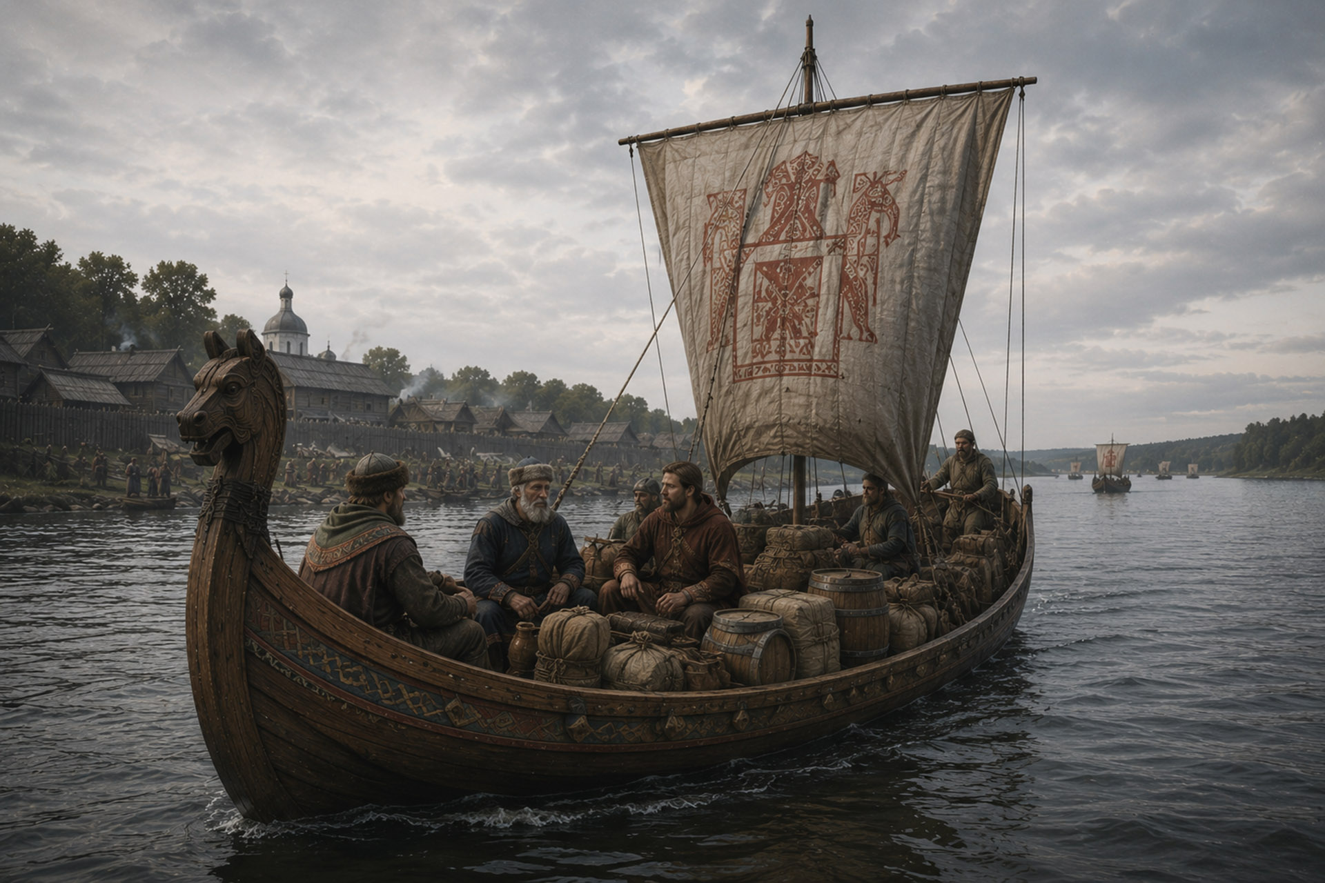
The vast water system of Lake Ladoga and the connections it enabled to distant regions were key prerequisites for the development of Karelia's ancient culture and the accumulation of wealth.
Rivers flow into and out of Lake Ladoga, along which people have travelled south-east to the headwaters of the Volga, south all the way to Constantinople, north to the White Sea, north-west to Eastern and Northern Finland and onwards from there, and west to the shores of the Gulf of Finland and the Baltic Sea.
Travelling from Lake Ladoga to the river, and from the river's upper reaches to another river belonging to a different water system, has not been entirely straightforward. While it may have been possible to sail a large vessel on the lake, as the river shallowists or at the very latest at the first rapids, one would have had to transfer to a tow-barge or a boat that could be pulled past the rapids. Moving from one water system to another was done by hauling boats across portages or by transferring just the cargo and continuing with other vessels.
To the south of the Karelian Isthmus during the late Iron Age, that is, between AD 800 and 1300, there were areas inhabited by Slavs, Izhorians and Lapps, to the west and north-west by Finns, to the east and south-east by ancient Vepsians and Chuds, and across the sea by Votes, Estonians, Balts and Scandinavians. The area to the north of Lake Ladoga was largely inhabited by Lapps.
According to archaeologist Aleksandr Saks, the early historical material supports the idea of the Karelians as a trading nation whose representatives undertook long trading journeys in ancient times. According to Saks, trade and close relations had a decisive influence on the birth and rise of Karelian culture. The actual impetus for the rise of Karelia was given by the development of the Vikings' eastern trade from the 8th century onwards. At that time, the Vikings' Great Eastern Route was born, which the Vikings themselves called Austervegr.
The background to the emergence of the Great Eastern Road lay in political changes in the Caliphate of Baghdad, i.e. Iraq
and in the realm comprising the region of Iran: the Abbasids overthrew the Umayyad Caliphate
led to in 750, as a result of which the merchant aristocracy gained the upper hand and the closed
The Caucasian and Caspian trade route opened. The region between the Black Sea and the Caspian Sea
the ruling Khazars began to buy furs from the northern forest region and
As a means of payment they used silver coins, which travelled far to the north.
Around the same time elsewhere, namely in the Baltic Sea, Scandinavians—that is, Vikings—extended their sailing voyages further east, all the way to the innermost part of the Gulf of Finland. In the archaeological material of Karelia, Western artefacts from that time increase rapidly.
The main route of the great eastern trade route ran from the Gulf of Finland via the Neva to Lake Ladoga and from its southern shore up the Volkhov River to Lake Ilmen. Flowing into Lake Ilmen from the southeast is the Msta River, from the upper reaches of which there was a short overland journey to the Tvertsa River. It is a tributary of the Volga, which is 3,531 kilometres long and flows into the Caspian Sea.
Vikings who sailed to Constantinople may have used the River Lovat, which flows into Lake Ilmen, or the River Daugava, which flows into the Baltic Sea. From these, there was an overland connection to the Dnepr, which flows through Kyiv to the Black Sea, and from there a sea route opened up to Constantinople and the Mediterranean.
In the mid-8th century, at the intersection of the Volkhov River and its Ladozhka tributary, twelve kilometres from Lake Ladoga, a trade and craft centre began to rise, which the Vikings called Aldeigjuborg and the Russians Ladoga. The Finnish name for the centre is Laatokanlinna. The town was strongly multicultural and home to a large number of Vikings.
Ladoga Castle was also significant from the perspective of Karelia, as, for example, the distance from Kexholm to there by water was about 200 kilometres. Karelian merchants knew Ladoga Castle well and engaged in trade in which, among other things, furs were exchanged for swords, spears, axes and jewellery.
There was also a waterway from the Gulf of Finland to Lake Ladoga via the Vyborg Bay and the Vuoksi River. Archaeologist Pirjo Uino suggests that this waterway was the Karelians' own route, which they controlled from the castle islands of Tiuri and Käkisalmi, or Korela. The same Vuoksi route was also monitored by Vyborg Castle, built by the Swedes.
Via Karelia and transported by the Karelians, weapons, jewellery and silver coins also made their way to the north, where several silver hoards have been found. From Lake Ladoga, several routes led northwards, including via the Vuoksi to Lake Saimaa, along the Hiitolanjoki river to Simpele, the Jänisjoki river into the interior of Karelia, and the Svir to Lake Onega. From Lake Onega, one could reach both the White Sea to the north and the Volga to the east.
Sources
SAKSA, ALEKSANDR 1998: Rautakautinen Karjala: Muinais-Karjalan asutuksen synty ja varhaiskehitys. Studia Carelica Humanistica 11. Joensuu: Joensuun yliopisto.
Matti Saarnisto (ed.), History of Vyborg Province I: The Genesis of Karelia pp. 383–474. Lappeenranta: Karjalan kirjapaino.
KORPELA, JUKKA (2004), History of Vipuri Province II: The Birth of the Vipuri Castle Fief. Jyväskylä: Gummerus kirjapaino Oy.


